


CAPSTONE DESIGN SHOWCASE 2021
-
DAYS
-
HOURS
-
MINUTES
-
SECONDS
COMING SOON


COMING SOON


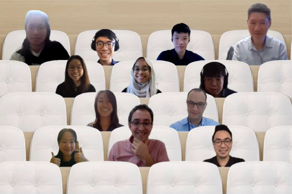
Team members
Sandy Low Yu Xian (ASD), Tan Qi Feng (EPD), Terry Cavan Chan (EPD), Nurul Akhira Binte Zakaria (EPD), Ang Jia Ying (ESD), Keith Ng Zian Kai (ISTD)
Instructors:
Cyrille Pierre Joseph Jegourel, Yang Hui Ying, Francisco Benita, Chong Keng Hua, Sergey Kushnarev
Writing Instructors:
Teaching Assistant:
Company: Supported by:

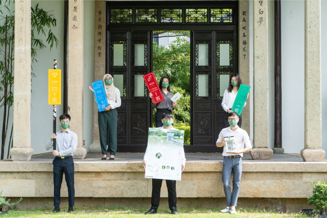
63.0% of Tampines residents do not meet Health Promotion Board (HPB) recommendation of 150 minutes of moderate intensity or 75 minutes of vigorous exercise weekly despite having exercise facilities in the neighbourhood (MOH Office for Healthcare Transformation, 2021). This increases their risk of developing health problems later in life. Thus, it is important to engage residents through an user-centric approach that nudges them to improve their existing exercise habits.
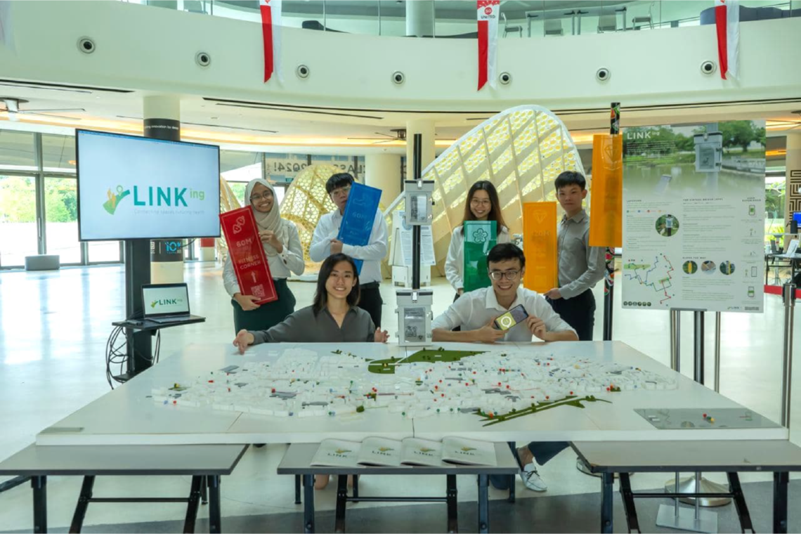
Project LINKing employs engineering and architectural principles to build virtual bridges that links up parks within Tampines. The bridge is built by mapping neighbourhood landmarks and the deployment of short-range wireless beacons at these landmarks. This is complemented by a mobile application to generate routes that guide users to these landmarks. The routes generated comprise of a connected series of uniquely themed landmarks designed to nudge residents to increase their level of physical activity. With that, we remove the physical boundaries of exercise spaces within parks in Tampines and create a park from the entire Tampines town.
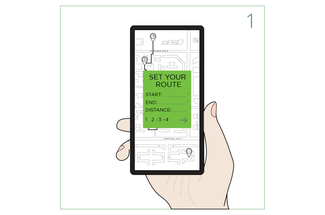
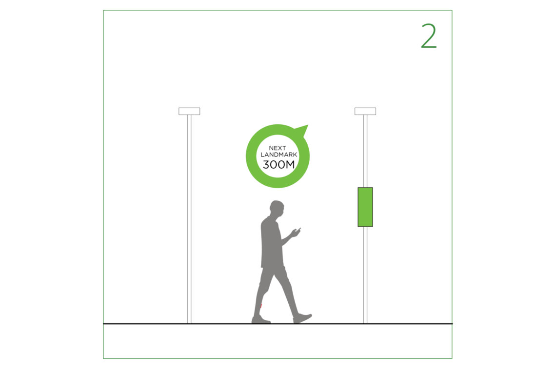
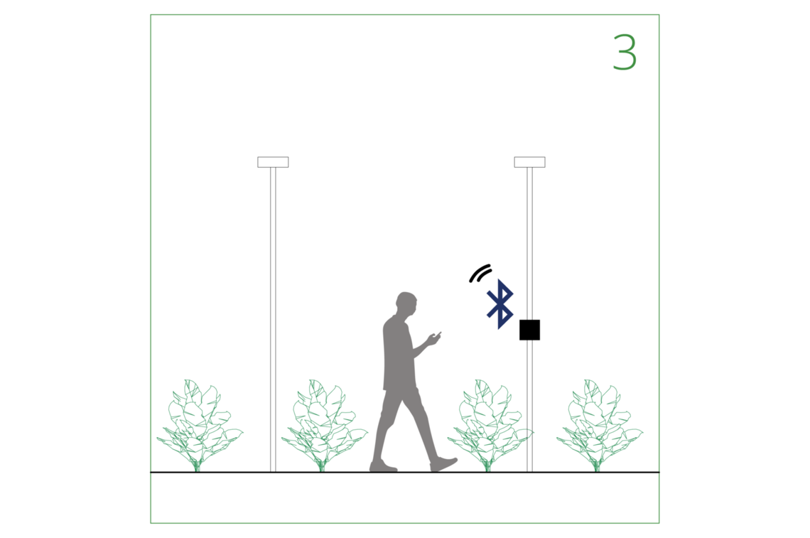
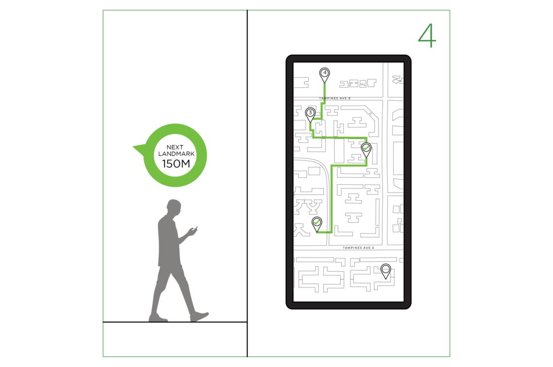
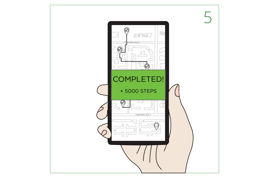
The overall user flow is as follows:
1. Generate route on app and start walk
2. Navigate to landmark through app and signages along the way
3. Interact with beacon at landmark
4. Repeat steps 2 – 3
5. Complete route and track achievements
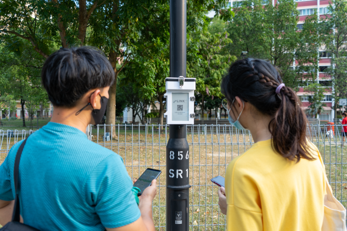
First-time users are attracted to download the LINKing application by scanning QR codes found on beacons at landmarks, on signages along the way or through community outreach events.
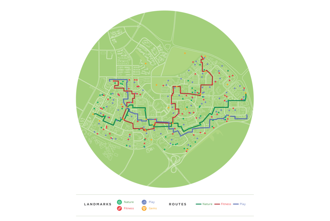
Landmarks curated are holistic and cater to the different needs of residents. There are three main unique landmark themes that users can explore– Nature, Play and Fitness.
Nature routes allow residents to explore and learn more about green spaces in Tampines; Play routes taps on the idea of fun and enjoyment that can be found in playgrounds; Fitness routes cater to residents looking for specific health-related challenges at exercise corners and paths.
In addition to the 3 themes, general landmarks, also known as Gems are also incorporated into routes. Gems include parks and hidden corners such as art murals that residents may not know about.
Beacons
All landmarks will be attached with a beacon, which will be used to engage users at each landmark. Using Bluetooth Low Energy (BLE) technology to connect with the app, a visual display with a short quest that is unique to each landmark will be shown on the e-paper with light-hearted tunes. This taps on the concept of placemaking as residents are encouraged to actively participate at landmarks.
The beacon was also designed to be:
1. Sustainable – It is powered by solar energy and Lithium polyer battery
2. Adaptable – The lightweight casing can be mounted on any lamp post and the e-paper is visible at any time of the day through LED lights
3. Weatherproof – Pressure sealants were used to protect the electronic components from rain
The application acts as a virtual bridge that links landmarks together through route generation. The app allows residents to generate customized routes according to their needs, provides directions to the next landmark through a compass and most importantly, help them to reach HPB standard. The overall user interface and experience of the app were designed to be user friendly for active agers and have been extensively tested with the target audience with positive results.
Map
The map shows an overview of all landmarks in Tampines. Users can filter out landmarks based on themes.
Route Generation
Residents input the type of route, exercise goal and start & endpoints to generate a connected series of landmarks through an algorithm. The route generation algorithm uses recursive backtracking to generate all possible permutations of routes constrained by inputs set by the user. The algorithm has a "pedestrian-oriented" design concept whereby all landmarks are within a 500m walk of one another.
Compass Navigation
The app points users towards the next destination using an arrow with the actual walking distance. This encourages users to explore and create new routes for themselves and ensures sustainability of the solution over time.
Bluetooth Low Energy (BLE)
The app runs BLE in the background and automatically connects with the beacon found at landmarks when the user is within a 2m radius. Successful connection triggers a visual display on the e-paper and an audio cue in the beacon.
User Account
Residents can track their progress and the number of routes completed over time. This creates a sense of accomplishment in users and motivates them to continue exercising in the long run.
Wayfinding
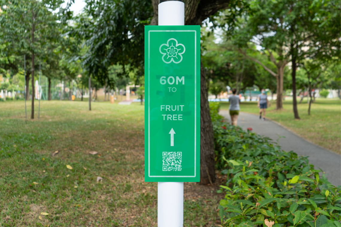
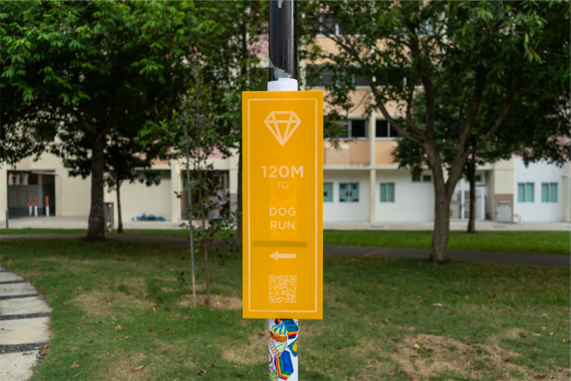
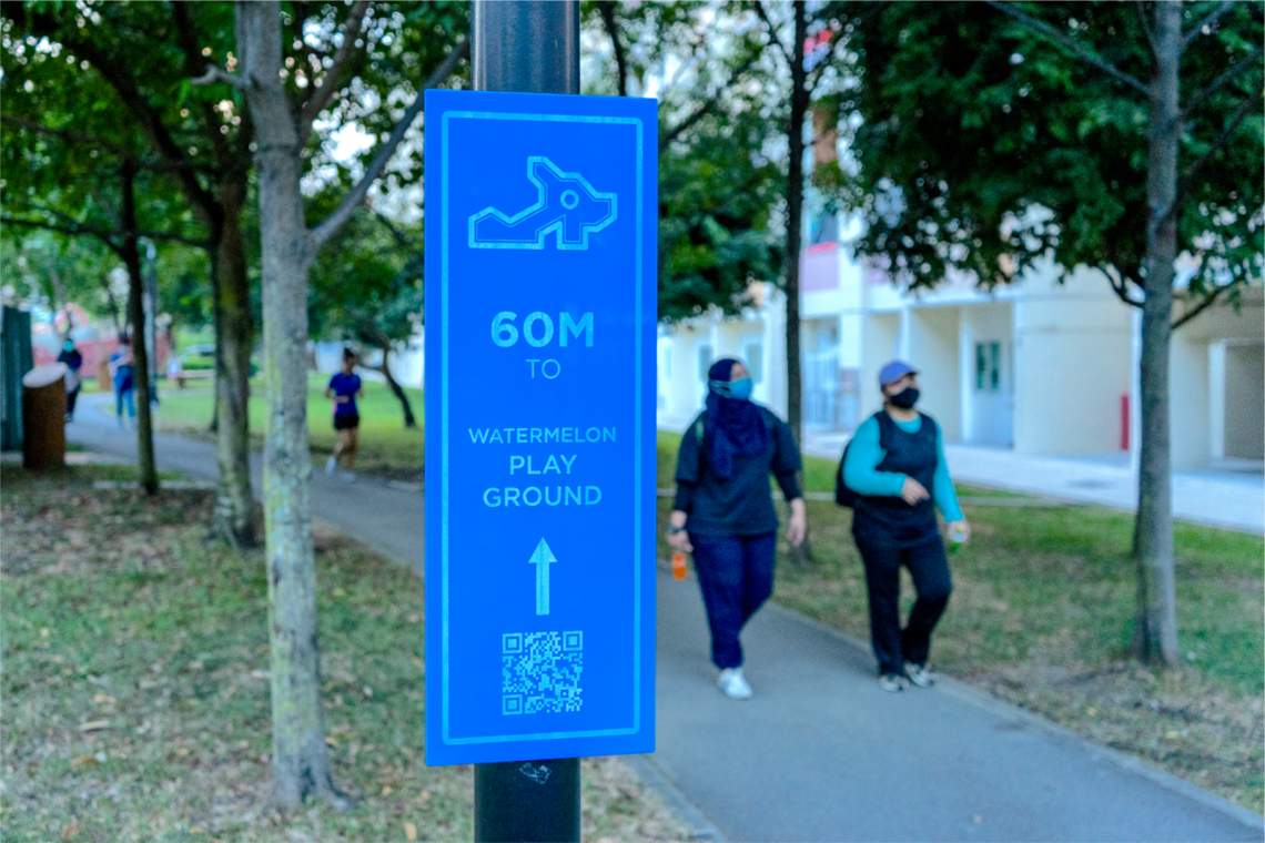
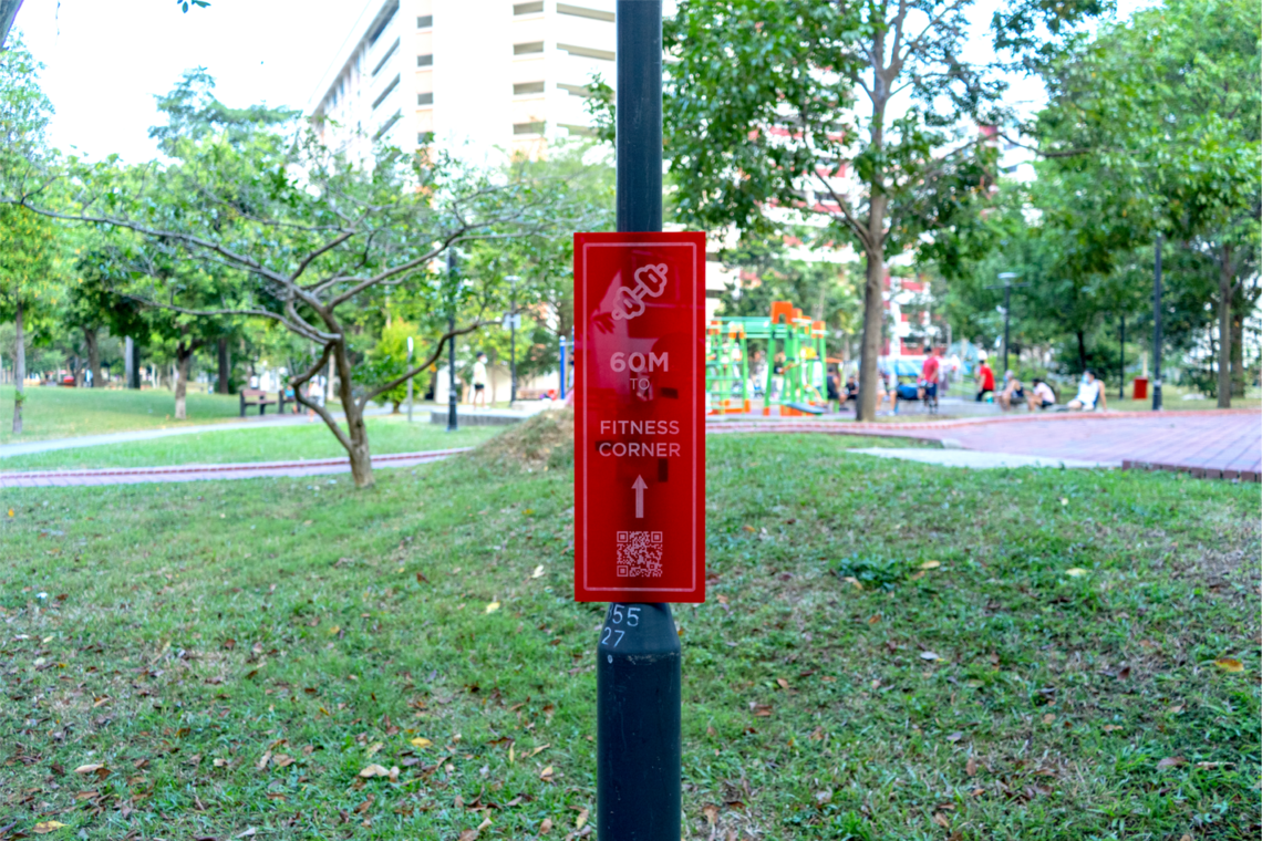
Using wayfinding design principles, signages are placed at strategic locations to communicate to residents about the landmarks in the vicinity. The colours, typology and imagery used were also carefully chosen to intrigue residents to find out more about these spaces that they tend to overlook in their daily lives. For each landmark theme, vibrant colours were chosen to draw the attention of users; a bold font type was selected for easy readability; and unique Singaporean icons were used as they localise the context of the solution, thus allowing residents to relate to it on a more personal level.
Placemaking
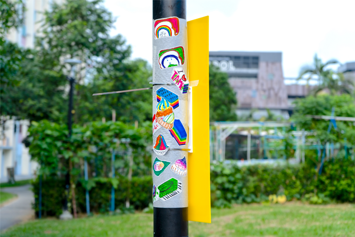
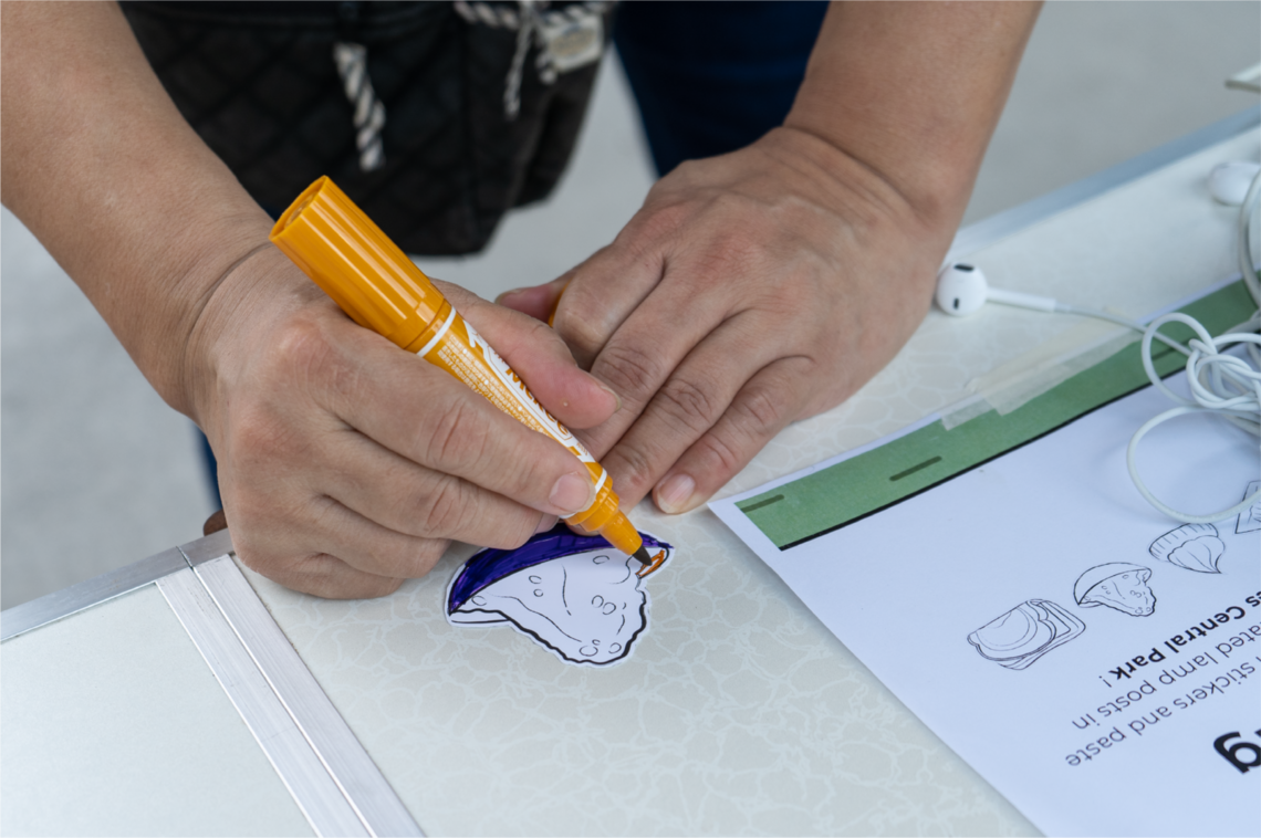
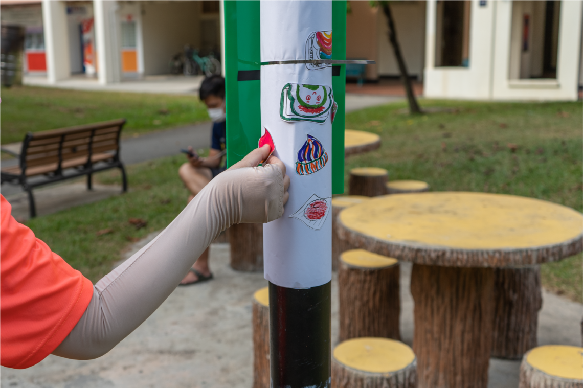
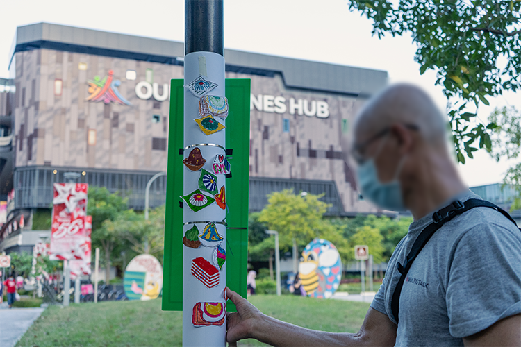
To create a sense of belonging in the neighbourhood, residents are given the freedom to design neighbourhood spaces by adding their unique interpretation of local Singaporean foods on specific lamp posts with signages around the neighbourhood. In addition to this, significant lamp posts with interesting designs can be made into a general landmark as well.
1. SITE MODEL
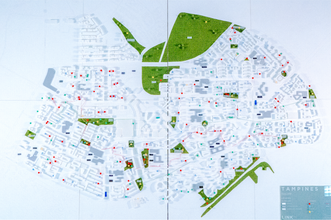
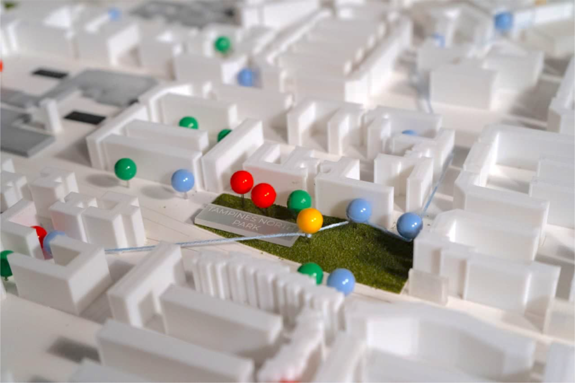
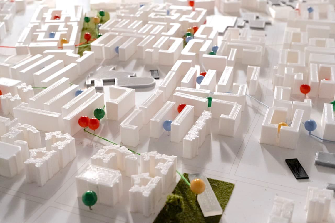
The physical 1:2000 scale model shows the extensive network of landmarks in Tampines. It provides a physical visualization of existing landmarks and routes within Tampines and can be potentially used as a tool for discussion between residents and town planners.
Spaces that are less developed and connected to the network can be easily spotted and new landmarks can be proposed and implemented to ensure strong connectivity in all parts of the Tampines neighbourhood.
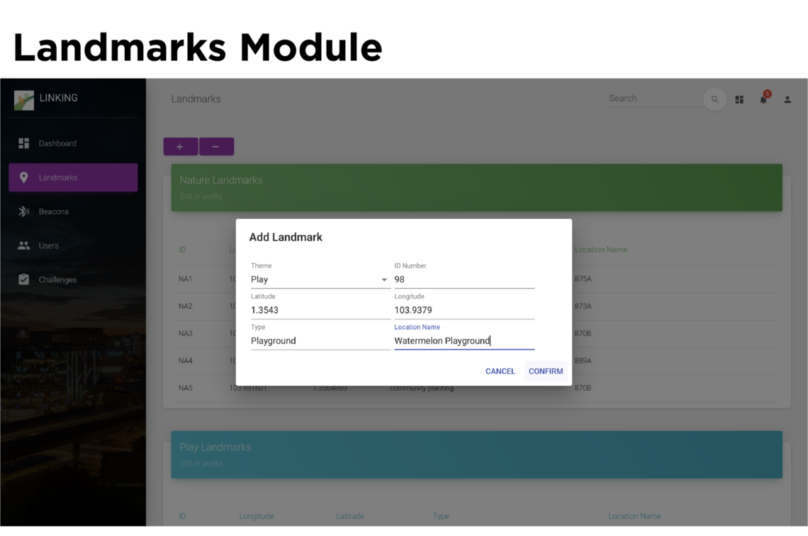
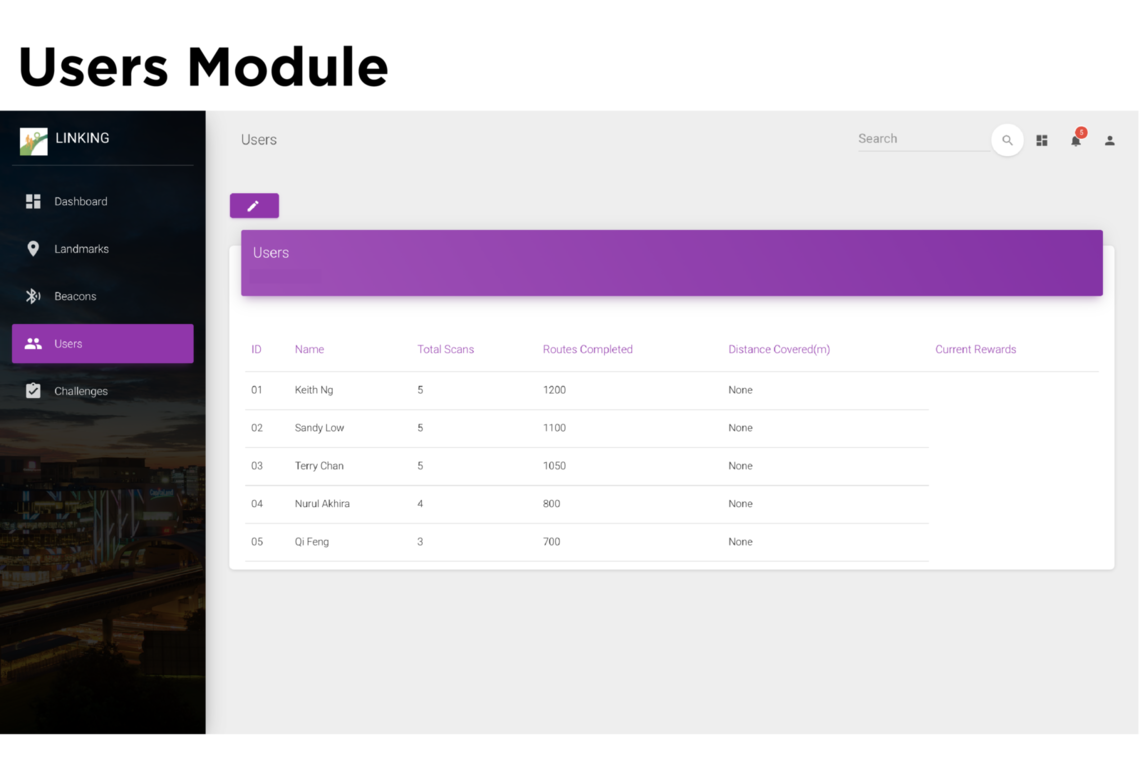
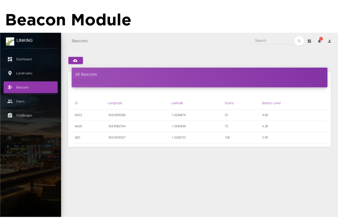
2. ADMIN PAGE
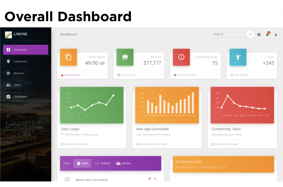
The 4 main functions of the platform are as follows:
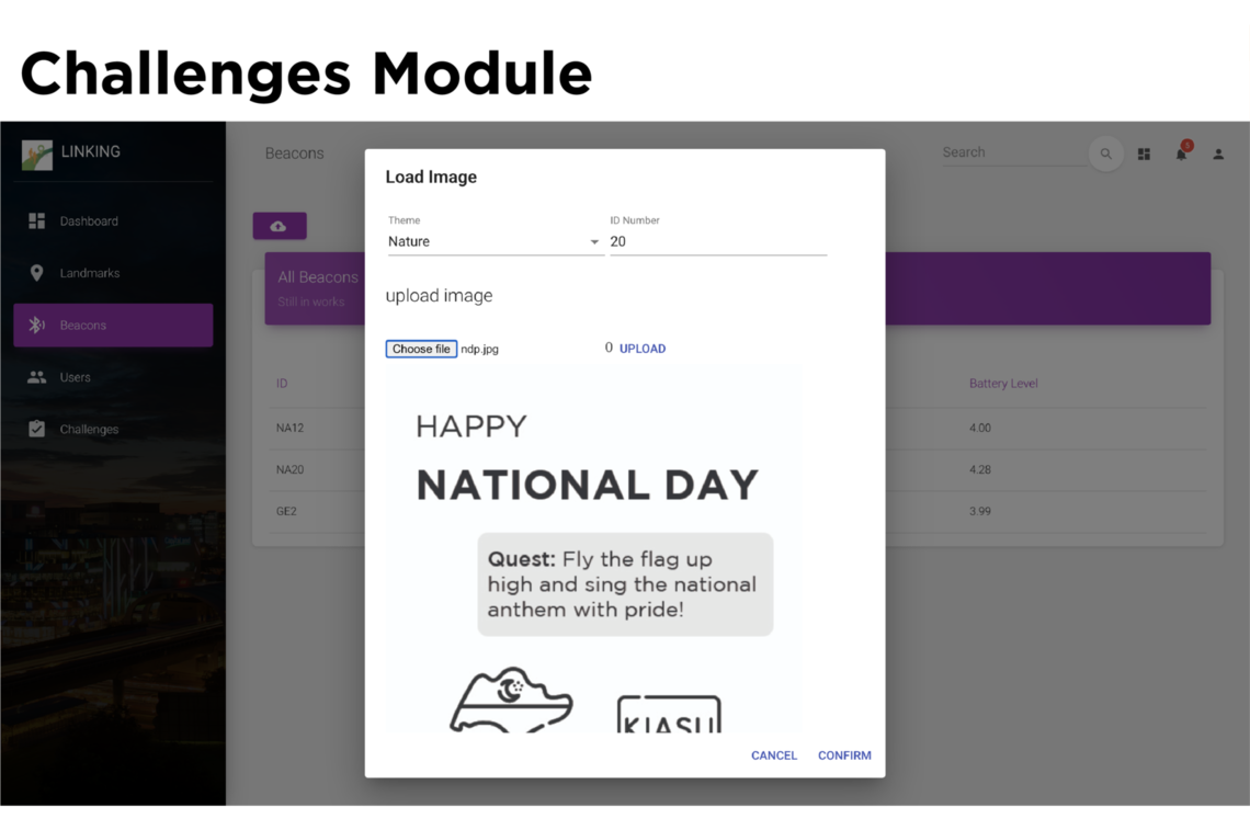
3. Challenges Module
Implement new quests and reward systems in beacon and app for residents to complete during special events to further boost physical activity.
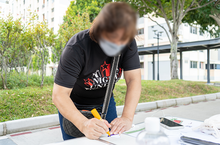
Tampines residents were engaged over a two-day period to test out the solution and provided valuable insights into their experience of using LINKing. Prototypes of the beacons and signages were placed around Tampines Central Park. Users were invited to complete a route using the mobile application. Through this user testing experience, we proved the functionality of our prototype, as well as gather real-world feedback about our solution to aid us in our future development plans.
It is an interesting concept that allows people to discover new spaces to bring people to. I take care of seniors so I can use the app to bring them around. I also like that it makes me realise that the destination is very nice and wonder why I never saw it before.
– Tampines Resident, 50 years old
The best part about LINKing is that I can exercise and meet people.
– Tampines Resident, 63 years old
LINKing creates an opportunity for Tampines residents of all ages to explore and actively participate in their neighborhood, thus increasing meaning and sense of belonging to a physical space. More importantly, it broadens the concept of health and opens our imaginations to what the future of health can be.
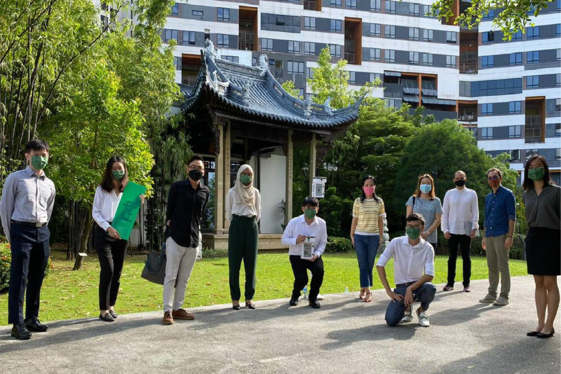
The team would like to express their heartfelt gratitude to everyone who has guided and helped us to make LINKing a reality. A huge thank you to our company mentors Clinical A/Prof How Choon How, Adj A/Prof Eugene Shum and Dr Agnes Koong from Singhealth, Changi General Hospital and Singhealth Polyclinics. We are grateful to academic mentors and writing instructor from Singapore University of Design for their continuous guidance and support throughout the project. Special thanks to SUTD research group SURGe, Tampines Town Council, Tampines Community Sports Club, and Tampines residents who have kindly volunteered to test our prototypes for contributing valuable insights to the project.
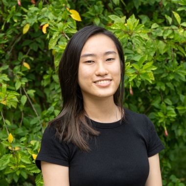 Sandy Low Yu Xian
Architecture and Sustainable Design
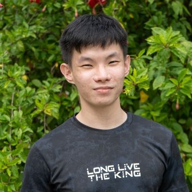 Tan Qi Feng
Engineering Product Development
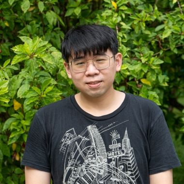 Terry Cavan Chan
Engineering Product Development
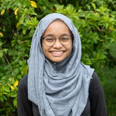 Nurul Akhira Binte Zakaria
Engineering Product Development
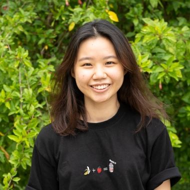 Ang Jia Ying
Engineering Systems and Design
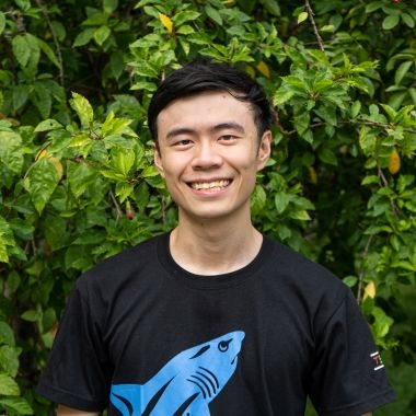 Keith Ng Zian Kai
Information Systems Technology and Design

Sandy Low Yu Xian
Architecture and Sustainable Design

Tan Qi Feng
Engineering Product Development

Terry Cavan Chan
Engineering Product Development

Nurul Akhira Binte Zakaria
Engineering Product Development

Ang Jia Ying
Engineering Systems and Design

Keith Ng Zian Kai
Information Systems Technology and Design
© 2021 SUTD

